
Weather station of the
Felix-Klein-Gymnasium's
Weather Club in Göttingen
149 meters above sea level
in nine languages


Location of Göttingen: "Upper valley of the Leine-River" (about150 meters above sea level.) International pages:       |  |   Göttingen 149m above sea level: view to the east
Both
webcams represent the weather conditions at the lowest (149m) and the
highest
(337m) points of Göttingen's settlement area. 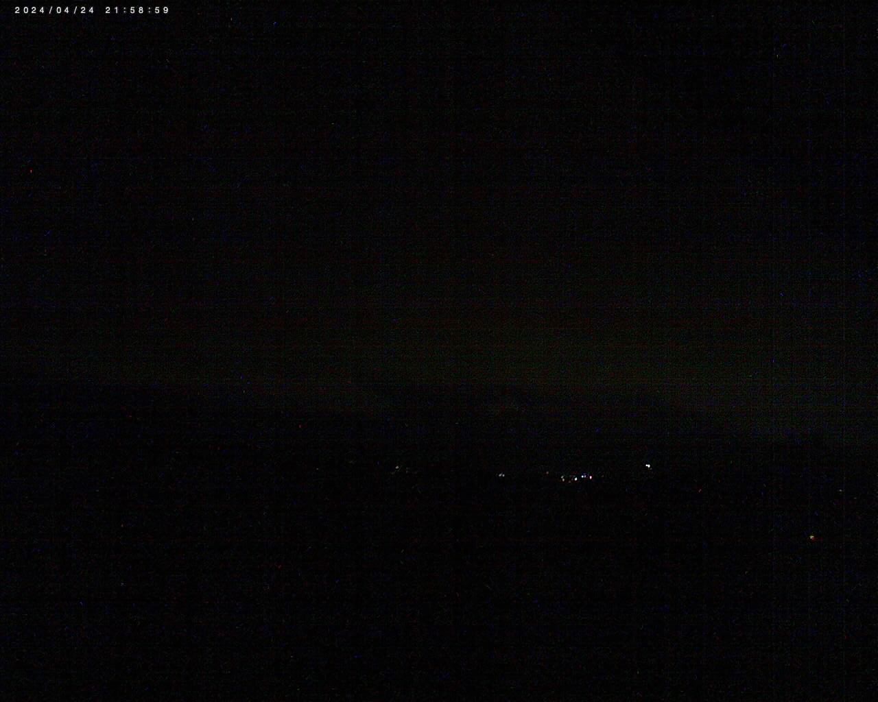 Göttingen/ Nikolausberg 337m above sea level: view to the southwest The Webcam was sponsored by the fundraising group of the FKG and the company Fa. Thies and other very nice people! Thank you very much! More Webcams in Goettingen |
| The weatherstation's
information:
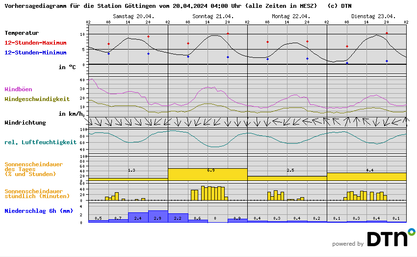
The last 24 hours:
This
week::: summarised details :: graphic :: control panel :: single data :: wind rose :: wind speed :: wind direction with windspeed :: cloud base (calculated) :: AWEKAS weather club Gö :: graphic :: wind rose :: wind speed This month: :: graphic :: single data :: wind rose :: wind speed This year: :: single data :: temperature(min./max.) :: sun/rain :: temperature/rain :: wind rose :: wind speed Past years/month: :: archive | Weather
links:  (thanks
to DWD) :: Airpollution predictions  (Dank an das RIU) ::Pollen count predictions  (thanks to wetteronline.de) (thanks to Meteomedia) Other links: :: Our school's homepage :: AWEKAS |
Sundries:
:: technical data :: awards :: newspaper reports :: contact |
| Visitors
since march
2007:706771 (Today: 9) |

